Latest News

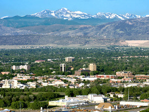
The view from Fort Collins…We don’t only have rafting!
What we see out our back window.
Longs Peak
• Elevation: 14,256 Feet
• The easiest route is a very strenuous 16 mile round trip starting at Longs Peak Trailhead and continuing through the Keyhole Route. Suggested starting time is before 4:00 am.
• Located in Rocky Mountain National Park

Horsetooth Mountain
• Elevation: 7,255 feet
• The hike to the top is a strenuous 5.5 mile round trip with a 1,500 foot elevation gain.
• Located in Horsetooth Mountain Park, which contains 2,500 acres of land and 28 miles of trails and provides water access for boating, windsurfing and swimming

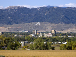
The “A” trail
• The “A” was first whitewashed on the foorhills above CSU’s Hughes Stadium in 1924 when CSU was Colorado A&M (Agricultural and Mechanical)
• Colorado State University changed from Colorado A&M in 1957
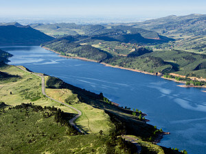
Horsetooth Reservoir
• Horsetooth Reservoir supllies Fort Collins with half of its water supply.
• When the reservoir is full, it is 6.5 miles long and 203 feet deep at its deepest point.

Arthur’s Rock
• Elevation: 6,780 feet
• The hike is a moderate 3.4-mile round trip journey
• Located in Lory State Park, which contains 2,400 acres and 25 miles of trails.
Grey Rock
• Elevation: 7,480 feet
• The hike is a moderate 6-mile journey with a scramble to the very top.
• Located up the Cache La Poudre Canyon in Roosevelt National Forest
From: Professionally Guiding Whitewater by Brad Modesitt


